Maps
The maps provided on this page are for general information purposes only. The exact locations and boundaries of lots, roads, common areas, streams, lakes, and any other items noted on the maps must be verified independently by anyone relying on these maps for anything other than gee whiz purposes. Questions concerning ownership boundary locations should be directed to a title company, attorney, or licensed land surveyor. The Timber Lakes Property Owners Association makes no warranty as to the accuracy or usefulness of this information. None of these maps should be used as a substitute for a recorded survey or a balanced, mother-approved diet.
Road Map
This is a road map of the mountain. It also shows lot numbers, common areas, the snowmobile route, and more! The link on the top is the upper mountain. The link on the bottom is the lower mountain.
Shaded Relief Map
A shaded relief map uses a technique where a lighting effect is added to a map based on elevation variations within the landscape. It generally is intended to mimic the sun’s effects – illumination, shading and shadows – on hills and canyons to show topographical features.
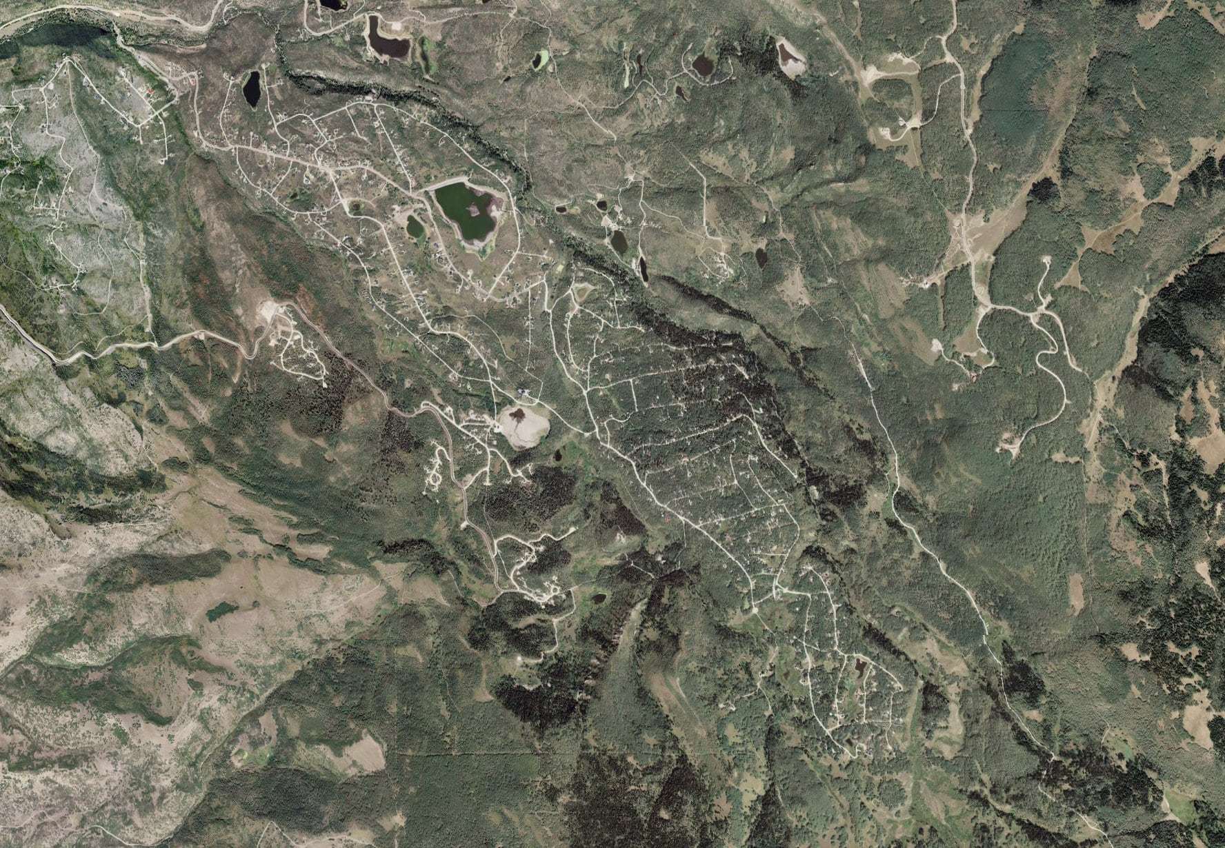
Aerial View
This is an aerial view of Timber Lakes, from a satellite photograph. A special shoutout to Josh for teaching me how to spell aerial. It only took two lessons.
Wasatch County Maps
Wasatch County maintains and operates a web application that provides a variety of online mapping services. To access the County’s map collection, click on the link below. You can then select the map you wish to view and enter the physical address of the property.